Cerrado Fire Regimes Atlas
Introduction
The Cerrado Fire Regimes Atlas integrates multiple fire metrics derived from the monthly MapBiomas Fire product to characterize fire regimes at the landscape scale (~9 km grid cells) across the Brazilian Cerrado.
Rather than mapping fire as isolated events, this atlas describes recurring fire regimes—coherent patterns of fire frequency, seasonality, size, and spatial configuration that emerge over time from interactions among climate, vegetation, land use, and fire management.
Using 40 years of fire history (1985–2024) and analytical approaches from landscape ecology and machine learning, the atlas provides a spatially explicit, biome-wide classification of fire regimes and their temporal dynamics.
Goal of the Product
The Cerrado Fire Regimes Atlas is designed as a strategic resource for fire ecologists, pyrogeographers, environmental managers, and policymakers.
While most fire-monitoring systems emphasize where and when fires occur (burned area or active fires), this product focuses on how fires are organized in space and time. By moving beyond binary burned/unburned representations, the atlas supports a deeper understanding of the pyrogeography of the Cerrado.
Primary Objectives:
- Advance pyrogeographical understanding
To support scientific analyses that move beyond single fire metrics by identifying distinct fire regimes—recurrent patterns of fire frequency, seasonality, size, and spatial configuration that shape ecosystem dynamics.
- Distinguish anthropogenic and fire-dependent systems
To differentiate fire regimes associated with open, fire-dependent savannas from regimes shaped by land-use change, suppression, or agricultural expansion.
- Track regime shifts through time
To visualize where and how fire regimes have reorganized over recent decades, including transitions associated with land-use change and climate variability.
- Support conservation and fire planning
To identify areas where current fire regimes diverge from historical patterns, informing priorities for prescribed burning, fire suppression, or adaptive management.
What this Product is NOT
Understanding the limitations of this atlas is essential for its appropriate use.
- 🚫 Not a fire intensity or burn severity map
This product classifies fire regimes based on the spatiotemporal structure of fire scars (e.g., frequency, seasonality, patch size, fragmentation). It does not directly measure fire intensity or severity, such as Fire Radiative Power (FRP) or spectral indices (e.g., dNBR).
Note: Some structural metrics (e.g., mean core area) may correlate with fire intensity, but regime classification is inferred from spatial patterns rather than direct energy measurements.
- 🚫 Not a real-time fire alert system
The atlas does not detect active fires. For operational fire monitoring and emergency response, refer to INPE Queimadas or NASA FIRMS.
- 🚫 Not a fire spread or behavior model
This product does not simulate fire spread under specific weather or ignition scenarios. It summarizes historical fire patterns rather than modeling fire physics.
- 🚫 Not a future fire forecast
Although long-term trends and regime trajectories are visualized, the atlas describes the state and history of fire regimes—not the probability of fires in future years.
Data Sources and Processing
Fire Occurrence and Metrics
Monthly burned-area maps from MapBiomas Fogo Collection 4 (1985–2024), derived at 30 m spatial resolution across Brazil.
Processing Workflow
- Fire scars
Individual fire scars were identified from monthly burned-area maps and summarized within ~9 km grid cells.
- Landscape metrics
For each fire scar, a set of landscape metrics was calculated to characterize spatial properties such as size, shape, fragmentation, isolation, and interior structure. Highly collinear metrics were removed using variance inflation factor (VIF) and correlation thresholds to ensure statistical robustness.
- Temporal aggregation
Fire metrics were averaged across the full study period (1985–2024) to represent long-term regime characteristics and aggregated by decade to capture temporal reorganization of fire regimes.
Final Metrics
The selected metrics include:
| Metric Type | Metric Name | What the metric measures | Potential ecological relevance |
| Fire Frequency | Fire Occurrence | Indicates whether a grid cell experienced fire during the observation period (binary: burned vs. unburned). When aggregated in space or time, it represents the probability of fire occurrence, independent of fire size, shape, or spatial configuration. High values: fire occurs frequently in the same location through time. Low values: fire is rare or absent in the landscape. | Reflects exposure of ecosystems to fire disturbance and helps identify areas subject to repeated burning versus long-term fire exclusion. |
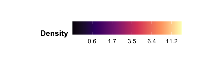
| Fire Frequency | Fire Density | Measures the number of distinct fire scars per unit area (100 ha), quantifying how burned area is partitioned into discrete fire events. High values: many separate fire scars occur within a given area. Low values: fewer fire scars occur within the same area, regardless of their size. | Indicates how fire activity is partitioned across the landscape, which may influence disturbance frequency experienced by organisms and vegetation patches. |
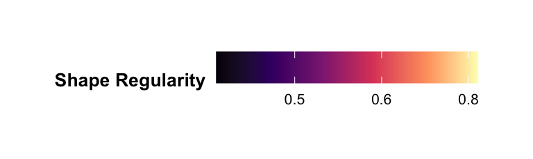
| Fire Scar Geometry | Fire Shape Regularity | Describes the average geometric regularity of fire scar shapes. High values (closer to 1): fire scars tend to be compact and geometrically simple. Low values: fire scars exhibit irregular or complex shapes. | Describes variability in fire spread geometry, which may influence edge effects and spatial heterogeneity of post-fire environments. |
| Fire Spatial Configuration | Fire Fragmentation | Measures the degree to which total burned area is subdivided among multiple fire scars. High values: burned area is distributed among many separate scars. Low values: burned area is concentrated into fewer contiguous scars. | Captures spatial continuity of fire, with potential implications for habitat connectivity, recovery processes, and landscape-level disturbance patterns. |
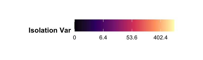
| Fire Spatial Configuration | Fire Isolation Variation | Quantifies variability in the distance between fire scars and their nearest neighboring scar. High values: fire scars show heterogeneous spacing, with a mix of clustered and isolated scars. Low values: fire scars are more uniformly spaced across the landscape. | Reflects heterogeneity in the spatial arrangement of fire events, which may influence recolonization dynamics and movement across burned landscapes. |
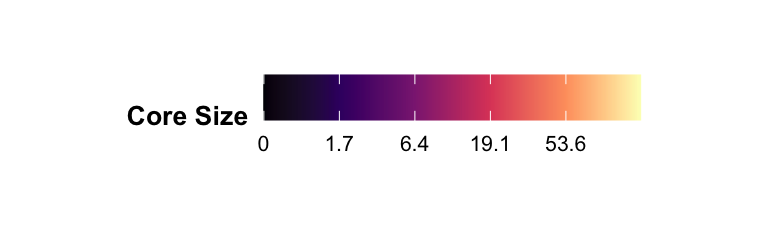
| Fire Scar Interior | Mean Fire Core Size | Measures the average area of interior (core) regions within fire scars, defined as burned areas buffered from unburned edges. High values: fire scars contain large interior zones distant from edges. Low values: fire scars are dominated by edge-influenced areas with limited interior. | Indicates the extent of uninterrupted interior burning, potentially affecting microclimatic conditions and persistence of interior post-fire habitats. |
| Fire Scar Interior | Fire Integrity Variation | Measures the variability among fire scars in the proportion of area classified as interior (core). High values: fire scars differ strongly in interior development. Low values: fire scars have similar proportions of interior area. | Describes heterogeneity in burn completeness, which may influence the predictability of interior habitat availability across the landscape. |
| Fire Scar Interior | Fire Cohesion Variation | Quantifies variability among fire scars in the number of disjoint interior core regions. High values: landscapes where some fire scars are internally cohesive (single core), while others are strongly perforated by unburned inclusions, resulting in multiple disjoint cores. Low values: fire scars exhibit similar internal cohesion. | Captures variability in internal connectivity of burned areas, which may affect continuity of post-fire habitats and movement within burned patches. |
Classification Method of Fire Regimes
Algorithm: Model-based Clustering (mclust) was used to classify pixels into distinct fire regimes based on their fire metrics and monthly frequencies.
Model Selection: The VVV (ellipsoidal, varying volume, shape, and orientation) model with 5 components (clusters) was selected based on the Bayesian Information Criterion (BIC), which showed a plateau in performance improvement after 5 clusters, indicating an optimal balance between model complexity and fit.
Characterization of Fire Regimes
We crossed the fire regime classification with land use information and the fire metrics that predicted them. Here is a summary of the fire regimes characteristics:
| Fire Regime | Description | Fire Metrics | Landscape context | Socioecological interpretation |
| 1 | This regime is characterized by very rare and suppressed fire activity. | All fire metrics (frequency, density, size) are below average (blue in the heatmap), except for fire shape regularity and fragmentation. | Dominated by pasture, and agricultural areas with high population density and anthropic use. | This represents the consolidated agricultural matrix where fire is actively suppressed to protect assets (crops, infrastructure) and due to the lack of continuous flammable vegetation. |
| 2 | This regime features infrequent but large and intense wildfires. | Characterized by high mean core area (lsm_c_core_mn) and core variability (lsm_c_dcore_sd), indicating large, continuous burn scars when fires do occur. Monthly frequency is generally low or average, but relatively higher in September (late dry season). | Associated with native open (grasslands, savannas, wet herbaceous) and native vegetation areas with low population density. However, these areas commonly share the use for temporary crops. | These are likely large natural remnants or protected areas where fuel accumulates over longer periods. When fires occur, the continuous grassy fuel allows them to spread extensively, creating large, solid scars. |
| 3 | This is the most active fire regime, characterized by frequent, fragmented burning throughout the year. | High values for fire density (lsm_c_pd), isolation variation (lsm_c_enn_sd), cohesion variation, and fire frequency across almost all months (Jan-Dec). | Strongly dominated by savanna and grassland formations, with lowest population density and antropic use. | This represents the core “fire-prone” savanna biome. The high frequency and fragmentation reflect the natural flammability of the vegetation and potentially the influence of human ignitions that are frequent but spatially limited by the mosaic of fuel types. |
| 4 | A regime defined by seasonal constraints and high biomass. | Shows a distinct seasonal avoidance pattern (lower frequency in peak dry months), high shape regularity (lsm_c_circle_mn) and patch density, and low isolation variation. | Defined by high NDVI (biomass) and low native vegetation and moderate population density. Located in the edges of the Cerrado. | These are ecotonal systems, with low dominace of open formations (grasslands and savannas) and with significant antropic pressure and degradation. Fire scars are abundant, large in extent and with regular shapes. |
| 5 | A transitional regime with variable and scattered fire activity, dominated by forest formation, mosaic uses and non vegetated areas. | Metrics are generally average or “messy,” with high variability in isolation (lsm_c_enn_sd) and integrity variation. Mean core areas of fires are lower than average (lsm_c_core_mn). | Characterized by a mix of forest, mosaic uses, and non vegetated areas. Relatively high biomass (NDVI). | This corresponds to the agricultural frontier (e.g., Matopiba) or the Amazon-Cerrado ecotone. Fire activity here is driven by the interaction between deforestation/clearing fires and the remaining forest edges, resulting in a spatially heterogeneous pattern. |
The Atlas
Interact with the Atlas! To download the original rasters, access the GitHub or Zenodo pages (available soon). For more customizable downloads, see the Shiny App I created.
Map Legends
Metric Legends